

Transmission and rail rights-of-way, swept corridor-scale.
Helicopter-grade sensor coverage without the crew or scheduling window. A networked Droneforce™ fleet, integrated with your outage-response workflow.
What the helicopter does. Without the helicopter.
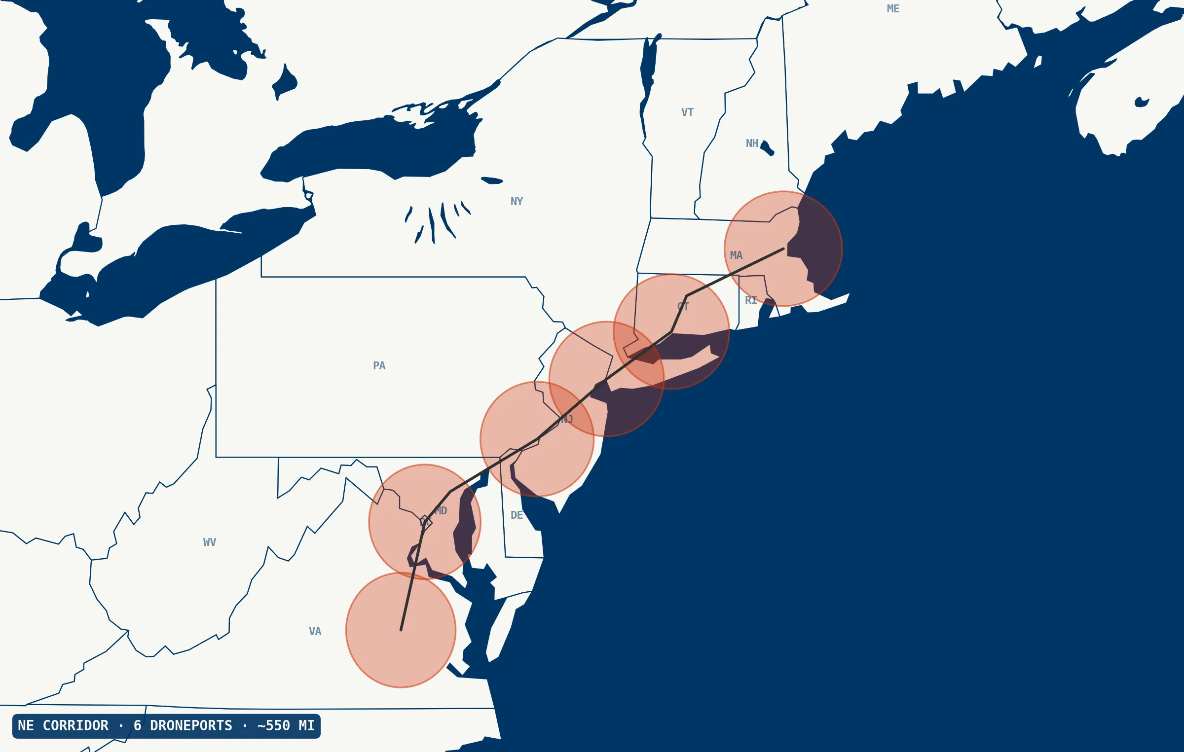
Transmission corridors run hundreds of miles. Range meets the corridor; payload makes the sweep worth making.
On rail corridors Track geometry and rail flaw detection require on-rail contact, so aerial complements rather than replaces them. The same platform adds value for ROW vegetation, post-incident rapid assessment, bridge and culvert inspection, and washout-risk monitoring in mountainous terrain.
Post-storm damage assessment, where utilities survey hundreds of miles in a few days and helicopter fleets are overwhelmed. Wildfire-risk vegetation management in California and the West, where PSPS (Public Safety Power Shutoff) schedules reward routine corridor sweep. Today, that combination means a flight crew, an aircraft, and a scheduling window. A networked Droneforce™ fleet is flexible, integrated with your outage-response workflow, an extension of your operations center, and either autonomous or operator-directed. Your call.
The full corridor stack, every sortie.
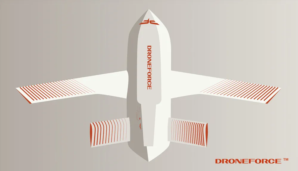
The full corridor-inspection sensor stack on one airframe, simultaneously. Standard commercial drones fly one of these at a time. Manned aircraft carry the whole stack, but crew availability gates the revisit cadence. The Droneforce™ 55 runs the whole sweep unmanned, on demand.
Across corridor-scale inspection.
- vs. helicopters Autonomous corridor sweep: no crew, no aircraft scheduling.
- vs. ground patrols Orders of magnitude faster over long corridors; no truck rolls.
- vs. short-range inspection drones Corridor sweep, not tower-by-tower. Different job.
- vs. fixed-wing LiDAR survey Same corridor, routine revisit, not once every few years.
Full-stack corridor data, streamed live.
Data from a networked Droneforce™ fleet, integrated with the systems you already run, keyed to the assets you already manage, delivered into the tools your operations team already uses.
RGB, thermal, corona/UV, and LiDAR data across the corridor, AI/ML-processed on-board for real-time feature detection, streamed via Droneforce One’s API. Geolocated and timestamped for ingest by your asset-management, integrity, and CMMS platforms; tower- or mile-marker-level tagging available via integration with your asset-referencing system.
Prefer to talk first? Tell us what you need.
Prefer to chat before ordering? No problem. Operators, program officers, integrators, and investors can reach the right team through this form. Tell us what you need and we’ll respond within one business day.