

Mission-ready. Reserve yours for $250. You fly or we do.
Configure your aircraft, choose a payload loadout, and place a fully refundable reservation fee. Production slots are assigned in reservation order.
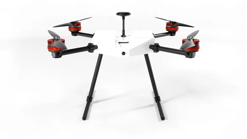
Droneforce DF800
Captures real-time video imagery that is pro-grade quality and beyond line of sight, simplifies your NDAA compliance burden, and gives your team the option of a mixed fleet.
- Range
- Up to 10 mi.
- Payload Bay
- Modular and Open Standard
- Link
- BVLOS autonomy over LTE
- Compliance
- NDAABlueUAS-alignedPart 107
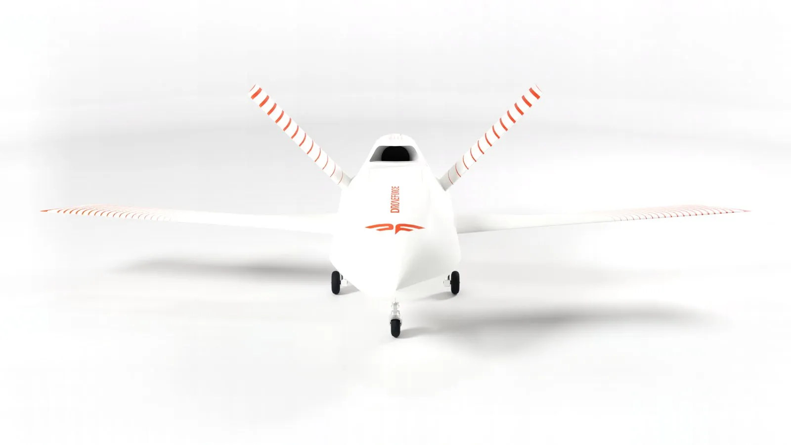
Droneforce 55
Autonomous fixed-wing UAS for corridor inspection: pipeline, utility, rail. Part 108-ready by design, satellite C2, pro-grade payload bay.
- Range
- Up to 100 mi BVLOS est.
- Payload Bay
- Modular and Open Standard
- C2 Link
- Satellite, global
- Compliance
- NDAA and BlueUAS componentsPart 108-ready

Droneforce HP
Buy one of three ways. We will be easy to do business with, transparent in pricing, and fast and easy to contract. Government rules require us to check out offline.
- Range
- 180+ mi and hours of endurance
- Payload Bay
- Modular and open standard
- Rate and Cost
- Designed for high-rate production and low cost
- Compliance
- NDAA and BlueUAS componentsPart 108-ready
Payload loadouts, sold separately.
Loadouts are airframe-specific. Each kit is engineered to fit the payload bay of the aircraft it is built for.
Droneforce DF800
Droneforce 55
Pipeline Integrity Imaging Standard
Thermal, high-resolution RGB and mapping LiDAR in one pass.
- Radiometric thermal
- High-resolution RGB
- Mapping LiDAR
Pipeline Integrity Imaging Enhanced
Adds multispectral to the pipeline-integrity sensor set.
- Multispectral
Utility & Right of Way Standard
High-resolution RGB with mapping LiDAR for corridor survey.
- High-resolution RGB
- Mapping LiDAR
Utility & Right of Way Enhanced
Adds radiometric thermal to the corridor survey set.
- Radiometric thermal
Utility & Right of Way Complete
Adds an EO/IR gimbal for live corridor inspection.
- EO/IR gimbal
Precision Agriculture Standard
Multispectral imaging with mapping LiDAR.
- Multispectral
- Mapping LiDAR
Precision Agriculture Enhanced
Adds high-resolution RGB to the multispectral set.
- High-resolution RGB
Precision Agriculture Complete
Adds radiometric thermal to the crop imaging set.
- Radiometric thermal